
Last updated: August 1, 2026
Somewhere off the coast of South America, the Pacific Ocean is running a fever. Sea surface temperatures in the key monitoring region are now running 3 to 4 degrees Celsius above normal, and just beneath the surface, the water is even hotter — anomalies there have topped 7 degrees above average. Forecasters who track this sort of thing for a living are increasingly using a phrase that doesn’t come up often: Super El Niño. If the current trajectory holds, it could turn into one of the strongest events of its kind ever recorded, and it’s arriving early enough in the year that meteorologists are already sketching out what it could mean for winter.
What Makes an El Niño “Super”
El Niño itself is a familiar, almost routine climate pattern — a periodic warming of the tropical Pacific that shows up every few years and nudges weather patterns around the globe. A “super” El Niño is something rarer. The threshold is ocean surface temperatures at least 2 degrees Celsius above average in the benchmark Pacific region, and by that standard, only five super El Niños have occurred since 1950. The most recent one was in 2015-16, a winter that brought severe flooding to parts of California and contributed to 2016 becoming, at the time, the warmest year on record globally.
What’s notable about the current event isn’t just that it may cross that threshold — it’s how fast it’s gotten there. A powerful Kelvin wave, a slow-moving pulse of warm water that travels east across the Pacific along the equator, has been driving the intensification. According to forecasters, this event has already exceeded where the moderate 2023-24 El Niño stood at the same point in its development, and some projections now show it surpassing the 2015-16 super El Niño by the time it peaks.
Paul Roundy, an El Niño researcher at the University at Albany, put it bluntly when asked about the odds of the pattern fizzling out: the likelihood of this event failing to strengthen further, he said, “must be small,” particularly given how confidently the models are picking up sustained westerly winds over the Pacific in the coming weeks. Those winds matter because they’re part of what pushes warm water eastward in the first place — and Roundy has pointed out that the wind burst driving this cycle in April may have been the strongest in more than 50 years.
When It Peaks, and What It Could Look Like
Current forecasts put the peak strength of the event in November or December of this year, with the most pronounced winter weather impacts arriving in January and February of 2027. That’s also the window when forecasters are watching most closely for potential disruption to the polar vortex — the swirling pocket of cold air that normally stays locked up near the Arctic. When the polar vortex wobbles or splits, cold air that would otherwise stay put can spill much farther south than usual.
The regional picture, at least in broad strokes, follows a pattern familiar from past El Niño winters, just amplified. The southern tier of the US — California, Texas, the Gulf Coast, and on into the East — is on track for a parade of moisture-rich storm systems and a real chance of heavy precipitation through the season. That’s typically welcome news for drought-stressed reservoirs in the Southwest, though it also raises the odds of flooding when systems stack up back to back.
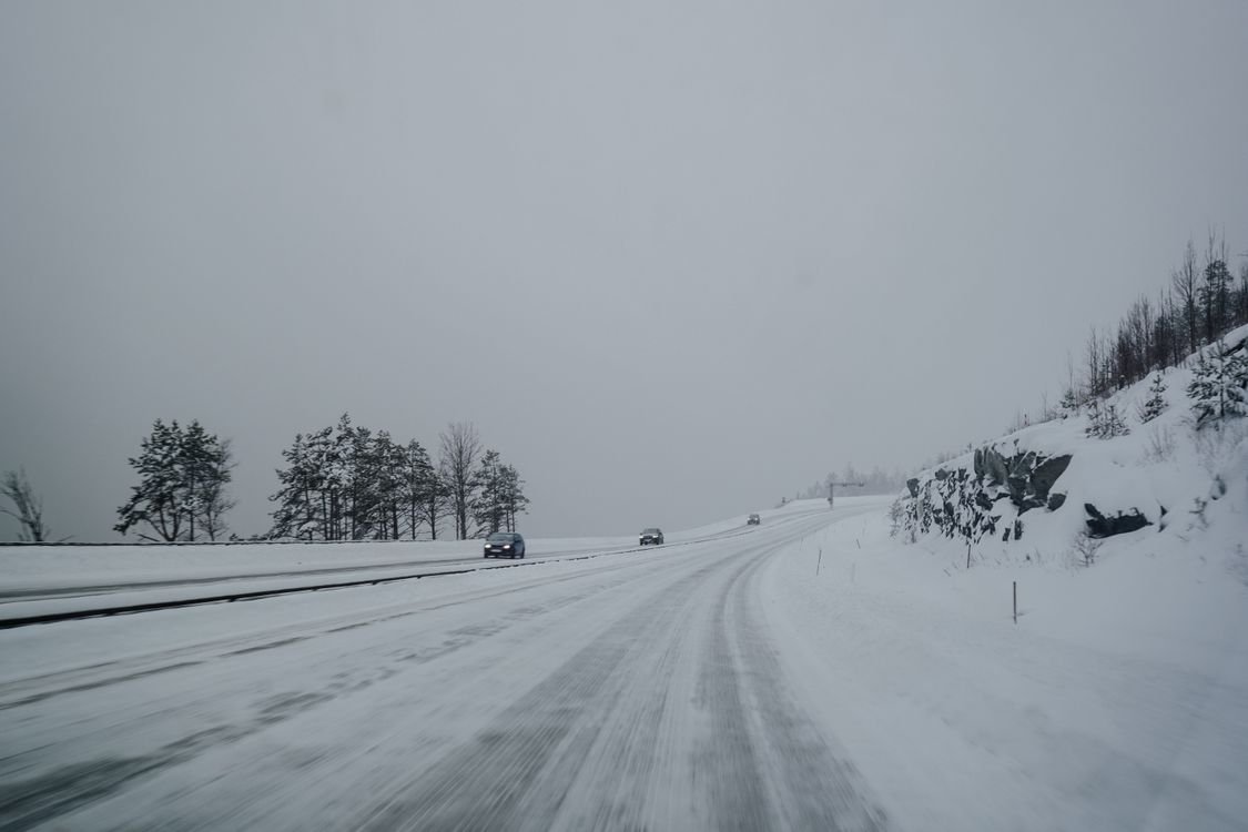
Farther north, the outlook tilts the other way. Canada and the northern US are shaping up to see more high-pressure blocking, which tends to mean milder, drier conditions than average — at least for a while. The wrinkle is the Central and Eastern US, where forecasters are watching for a stronger storm track and sharper temperature swings as the season progresses, with a better chance of colder air intruding by February. It’s the kind of setup that can produce a mild start to winter followed by a late-season sting, rather than one consistent story from November through March.
Underlying all of this is the jet stream, the river of fast-moving air that steers storm systems across the country. The current forecast shows an energized southern branch of the Pacific jet stream paired with a stubborn high-pressure ridge to the north — a combination that tends to favor a more active southern storm track while leaving the northern half of the continent comparatively quiet, until the pattern potentially breaks down later in winter.
The Hurricane Season Wrinkle
El Niño’s fingerprints don’t stop at winter. The same ocean warming that reshapes the jet stream also tends to increase wind shear and sinking air over the Atlantic basin, which historically works against hurricane development there — a strong El Niño winter is often preceded by a quieter-than-average Atlantic hurricane season, since the atmospheric conditions build well before the coldest months arrive. The flip side shows up in the eastern and central Pacific, where strong El Niño years tend to coincide with more, not less, tropical activity. For anyone weighing hurricane risk this year, the same climate signal cuts in opposite directions depending on which ocean basin they’re watching.
Why Any of This Is Worth Tracking Now
It’s easy to treat a forecast for January weather as background noise in July, but the reason meteorologists are talking about this now is that the signal is unusually clear this early. Ocean temperature anomalies of this magnitude, this far ahead of winter, don’t leave a lot of room for the pattern to simply dissolve — which is part of why Roundy and others are comfortable using confident language about where this is headed, months before the first snow would even be a possibility.
None of this locks in a specific forecast for any single city or storm; regional impacts are still probabilities, not certainties, and forecasts for January and February will sharpen considerably as the season gets closer. But the broad shape of a wetter South, a milder North for a stretch, and a hurricane season split cleanly along Pacific and Atlantic lines is about as confident a long-range outlook as forecasters get. Whether this event ultimately claims the record for strongest super El Niño or simply lands among the strongest, the practical upshot for most people is the same: this is shaping up to be a winter worth paying attention to, and the first real signals of how it plays out should start showing up by late fall.
For more weather coverage, see Hurricane Fausto and Hawaii. For more, visit our Current Affairs section.
For official information on this story, see NOAA’s Climate Prediction Center.
Latest official outlook—and what “very strong” means
NOAA’s Climate Prediction Center reported in its July 2026 seasonal discussion that El Niño had strengthened and was forecast to intensify through 2026 and continue into early 2027. At that update, NOAA assigned an 81% chance of a very strong event during October–December 2026. That probability describes the expected strength of Pacific Ocean conditions; it is not an 81% forecast of any particular storm, flood, drought or temperature outcome in a reader’s hometown.
NOAA explicitly cautions that even a very strong El Niño does not guarantee the classic impact everywhere. Seasonal outlook maps show shifts in probability—not promises—and local weather can depart substantially from the seasonal signal.
How readers should use a seasonal forecast
- Use NOAA’s official seasonal outlooks for broad planning, then rely on your local National Weather Service forecast for short-term decisions.
- Review flood, wildfire, winter-weather and emergency plans based on local hazards—not on the El Niño label alone.
- Expect the forecast to change as ocean and atmosphere observations are updated. Check the issue date before sharing a map or probability.
- Be cautious with deterministic claims such as “your city will have a wet winter.” Seasonal probabilities cannot support that level of certainty months in advance.
Regional pattern is not a household forecast
In broad terms, El Niño winters often tilt parts of the southern United States toward wetter conditions and parts of the northern tier toward warmer conditions. But those historical relationships vary by event and location. NOAA’s current maps—not generalized historical rules—are the appropriate reference for a specific region.
Sources and methodology
- NOAA Climate Prediction Center: ENSO Diagnostic Discussion
- NOAA Climate Prediction Center: Long-Lead Seasonal Outlook discussion
- NOAA: official ENSO-strength probabilities and limitations
Sanewords will revise this article when NOAA issues a materially different ENSO outlook. Forecast percentages above are tied to the cited issue date and should not be treated as permanent.

Leave a Reply