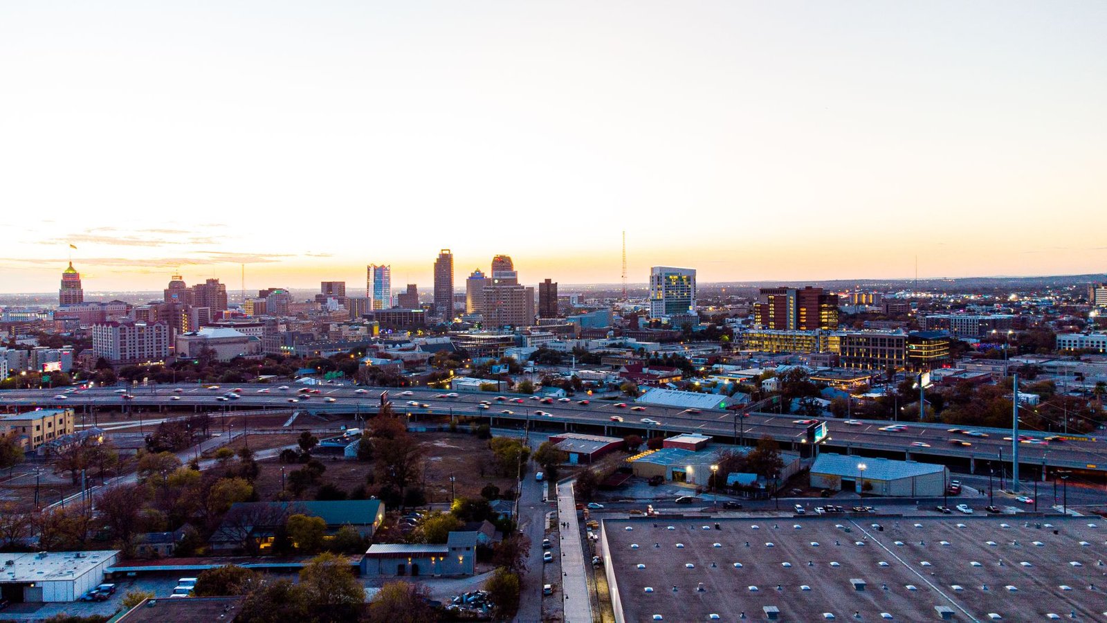
Most of the national conversation around El Niño has zeroed in on California — the flooding, the atmospheric rivers, the reservoirs. But San Antonio weather forecasters and climate watchers have been raising a quieter alarm, one that deserves a lot more attention than it’s been getting.
What the ‘extraordinary’ El Niño forecast actually says
Federal climate agencies have flagged this El Niño pattern as potentially among the strongest on record — some models placing it in a tier that meteorologists rarely use. El Niño, the periodic warming of central and eastern Pacific Ocean surface temperatures, reshapes jet stream patterns across the entire continental United States. That’s not a California-specific event. It never was.
For San Antonio specifically, a strong El Niño historically tips the scales toward a wetter, cooler winter and early spring. The signal isn’t guaranteed — frankly, anyone who tells you weather is guaranteed is selling something — but the historical correlation between strong El Niño events and above-average rainfall across South and Central Texas is hard to ignore.
San Antonio weather patterns during past El Niño years
Here’s the thing. San Antonio sits in a climatological sweet spot where El Niño’s influence is more pronounced than in most of Texas. During the 1997-98 El Niño — still the benchmark for strong events — the city recorded significantly above-average precipitation, and the Hill Country to the northwest saw flash flooding that disrupted communities for weeks.
The 2015-16 event told a similar story. Rainfall totals across the Bexar County region ran well above the seasonal average, and the Medina and San Antonio rivers both approached flood stage multiple times between November and March. What most people miss is that El Niño’s effect on San Antonio weather doesn’t just mean more rain — it means more intense, concentrated rain events, which is a meaningfully different problem for infrastructure and drainage.
Temperatures tend to moderate as well. Extreme cold snaps — the kind that paralyzed Texas in February 2021 — are statistically less likely during a strong El Niño winter, though not impossible. The polar vortex is its own beast.
Flood risk and what San Antonio residents should watch for
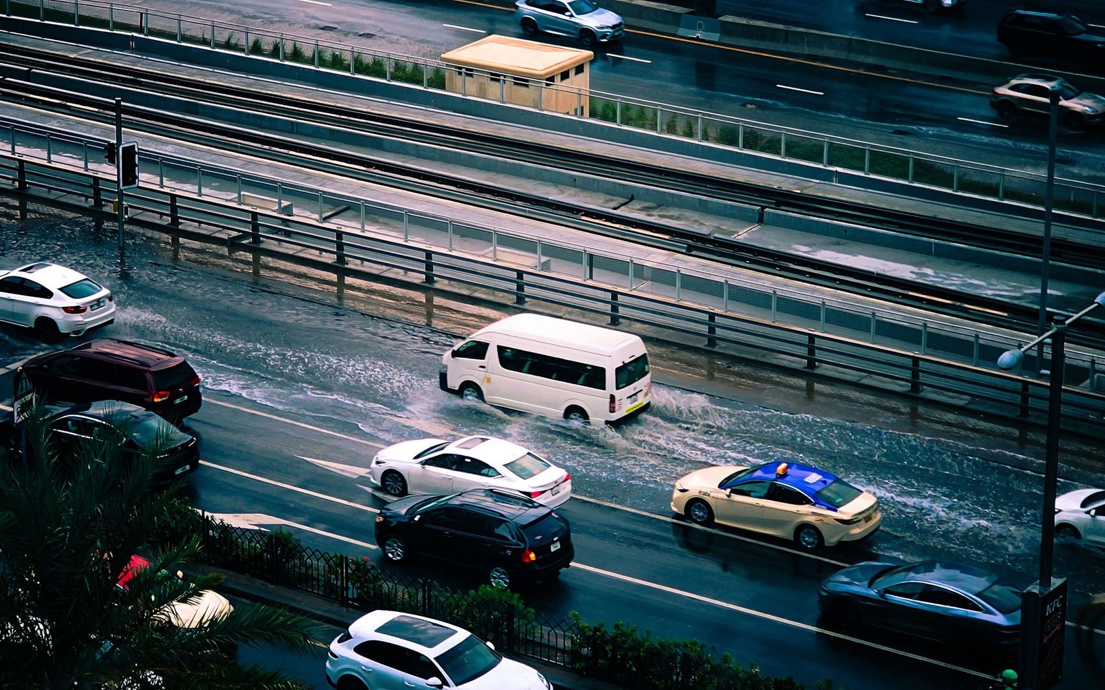
San Antonio has a complicated relationship with flooding. The River Walk exists partly because of engineering work done after a catastrophic 1921 flood killed dozens of people downtown. The city has invested heavily in flood tunnels and detention systems since then, but those systems weren’t designed for the rainfall intensities that climate scientists now consider plausible under extreme El Niño conditions.
Upstream watersheds — particularly around Helotes Creek, Leon Creek, and the Medina River basin — drain enormous areas of the Hill Country directly into the metro. When those waterways come up fast, which they do, low-water crossings become deadly. Every year. And yet every year, drivers underestimate them.
The National Weather Service office in San Antonio has already issued preliminary guidance encouraging residents in flood-prone neighborhoods to review their evacuation routes before the peak October-through-March window hits. That’s not routine language. They don’t typically issue that kind of forward-looking advisory unless the seasonal outlook genuinely warrants it.
How this El Niño compares to recent San Antonio weather trends
Context matters here. San Antonio has endured a stretch of weather extremes that would have seemed statistically improbable just two decades ago — the 2011 drought, the 2021 freeze, back-to-back summer heat records in 2022 and 2023. Residents are, understandably, fatigued by forecast anxiety.
But El Niño forecasts operate on a different level of confidence than most short-range weather predictions. The oceanic temperature data is measured directly, updated continuously, and the atmospheric response patterns are well-documented across decades of observation. This isn’t speculation. It’s physics playing out on a slow, readable timeline.
San Antonio weather won’t look the same this winter as it has the last few dry ones — and the city, its emergency managers, and its residents would be smart to start treating that as a working assumption rather than a possibility to be monitored from a distance.

Leave a Reply