
If you’ve seen “Hurricane Fausto” trending and you have family, a trip, or a home in Hawaii, here’s the reassuring headline first: the current forecast has Fausto weakening to a tropical storm and passing just north of the islands next week, with no direct hurricane hit expected. That’s the good news. The catch is that “no direct hit” doesn’t mean “no impact” — and the surf is the part worth paying attention to.
Here’s a plain-English rundown of where Fausto is, where it’s headed, and what Hawaii should actually expect.
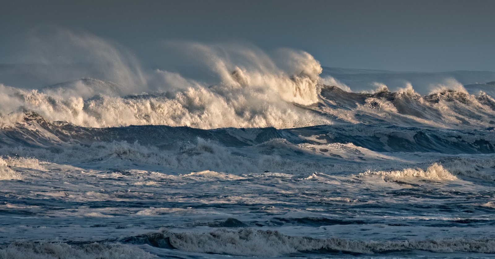
Where is Hurricane Fausto right now?
As of the latest advisories, Fausto is a strong hurricane spinning across the eastern Pacific, well over 1,000 miles east of the Big Island and moving westward at a fast clip. Earlier in the week it strengthened into a Category 2 storm with maximum sustained winds near 105 mph, and forecasters believe it’s at or near its peak intensity. From here, the expectation is steady weakening as it heads into the central Pacific.
Will Hurricane Fausto hit Hawaii?
Based on the current track, no — not as a hurricane. Forecast models bring Fausto near Hawaii by Tuesday night into Wednesday, Hawaii time, but on a path that keeps the center just to the north of the island chain. Just as importantly, the storm is expected to lose steam on the way in: forecasters have it easing to a Category 1 by the weekend and down to a tropical storm before it reaches the islands.
Because the system is forecast to pass to the north, the strongest winds — which sit on the storm’s northern flank — are expected to stay out over open water rather than sweep across populated areas. That’s the scenario the forecast favors today, but tropical systems wobble, so it’s still worth watching through the weekend.
When will Hawaii feel the impacts?
The first thing islanders will notice is the ocean. Here’s the rough timeline forecasters have laid out:
- Late Saturday: swells begin arriving on east-facing shores of the eastern islands
- Tuesday: surf increases on north-facing shores as well
- Tuesday into Wednesday: surf peaks as Fausto makes its closest pass north of the islands
- Mid-week onward: any wind and rain impacts, if they materialize, taper as the storm moves off to the west
In other words, the water gets rough days before the storm itself is anywhere close. That lead time is a gift — use it.
What impacts should Hawaii expect?
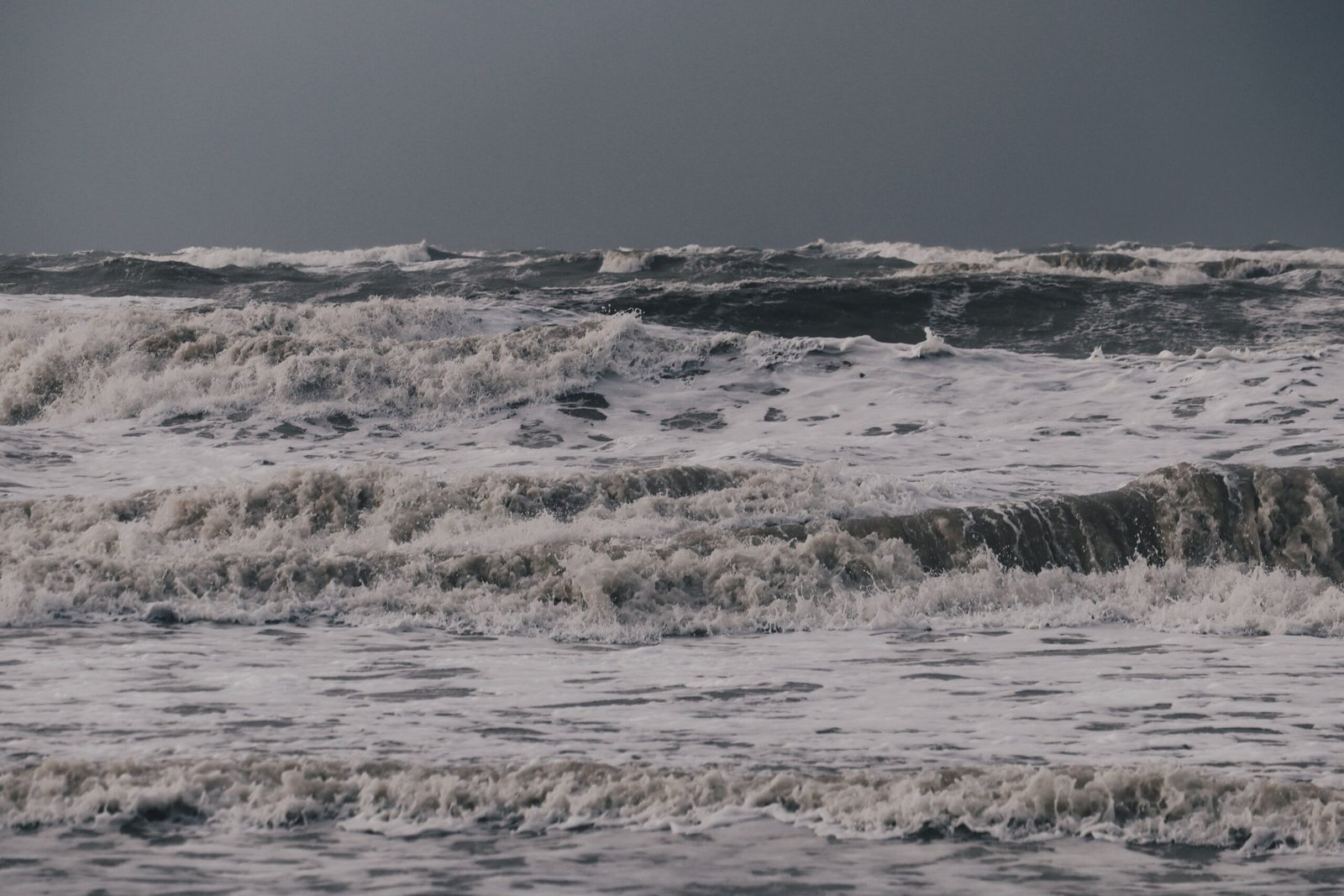
The headline impact is dangerous surf and the rip currents that come with it. Building swells can make normally friendly beaches hazardous, and high surf advisories are the kind of alert that tends to go up first in situations like this. Beyond the water, there’s an increasing — but still uncertain — risk of gusty winds and periods of heavy rain, especially on the eastern islands, depending on exactly how close Fausto tracks.
Forecasters have been candid about the uncertainty here: the magnitude and exact location of any wind or rain impacts are still hard to pin down this far out. The safe read is to treat the surf as a near-certainty and the wind and rain as a “prepare, don’t panic” possibility.
Why is Fausto weakening?
Two ingredients are working against the storm as it approaches Hawaii. First, the ocean water east of the islands is cooler than the warm pool Fausto fed on to reach Category 2 — and hurricanes run on warm water. Second, an increase in wind shear (winds that change speed and direction with height) tends to tear at a storm’s structure, and that’s exactly the environment Fausto is heading into. Together, they’re the reason the forecast steadily downgrades the storm as it nears the islands.
There’s another storm behind it: Tropical Storm Genevieve
Fausto isn’t traveling alone. Forecasters are also tracking Tropical Storm Genevieve churning through the Pacific behind it, part of an unusually active stretch this season. Genevieve isn’t an immediate threat to land in the same window, but it’s a reminder that the basin is busy right now — and that this is the time of year to keep an eye on the tropics if you live in or are traveling to the region.
How to stay ready without overreacting
For most people in Hawaii, this is a “stay informed and respect the ocean” situation rather than a “board up the windows” one. A few sensible steps: check the Central Pacific Hurricane Center for the latest official advisories rather than relying on screenshots making the rounds online; stay out of the water during high surf advisories, even if you’re an experienced swimmer or surfer; secure loose outdoor items if you’re on the eastern islands; and keep phones charged and a basic supply kit handy, which is just good practice during hurricane season regardless of this particular storm.
Fausto is also a preview of a hyperactive stretch of weather the Pacific and beyond may be in for — something we dug into in our look at the Super El Niño forming for 2026. For now, though, the message on Fausto is refreshingly simple: watch the waves, listen to the official forecasters, and there’s a good chance Hawaii dodges the worst of this one.
For more weather and natural-disaster coverage, see Japan Earthquake: Magnitude 7.1 Quake Strikes Kumamoto and Super El Niño 2026 Is Forming. For more, visit our News section.
For official information on this story, see the National Hurricane Center.
Update: what actually reached Hawaii
Historical update: This article was originally written while Fausto was still approaching Hawaii. National Weather Service Honolulu reporting on July 27 said the cyclone was expected to pass north of the islands as a tropical storm. The most confident impact was dangerous, warning-level surf along exposed east-facing shores; wind and heavy-rain effects were less certain. Readers should use the official Fausto advisory archive for the storm’s complete forecast history rather than treating an early forecast as the final outcome.
Forecast track versus impact: an important distinction
A storm center does not have to cross an island for hazardous surf, rip currents, rain or locally strong winds to occur. Conversely, a forecast cone is not an impact map: it represents uncertainty in the center’s track and does not show the full reach of hazards. Watches, warnings and local National Weather Service statements are the information that should guide decisions.
Safety information for future Hawaii storms
- Follow National Weather Service Honolulu, Hawaii Emergency Management and county emergency officials.
- Stay away from closed beaches and coastal lookouts during high-surf warnings. Waves can run much farther up the shore than expected.
- Do not drive through flooded roads. Conditions can vary sharply across an island even when the cyclone’s center remains offshore.
- Keep water, food, medication, lighting and communications supplies available before a warning is issued.
Sources and reporting
- National Hurricane Center: complete Hurricane Fausto advisory archive
- National Hurricane Center: July 25 public advisory
- National Weather Service Honolulu: area forecast discussion and local hazards
Storm information expires quickly. Always check the timestamp and obtain the latest official warning before acting.

Leave a Reply